


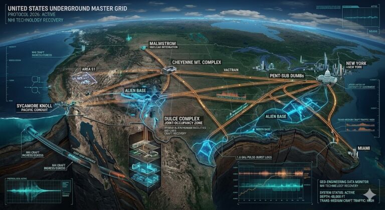


Are you ready to explore the truth behind Subterranean Bases and the secrets hidden beneath our feet? For three decades, we have worked to...
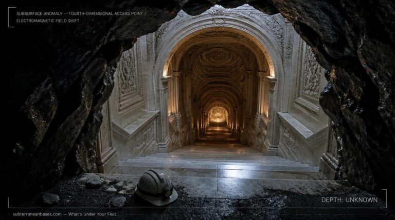
In 1946, a writer named Richard Shaver published a story in Amazing Stories Magazine that should have been dismissed as science fiction — except...
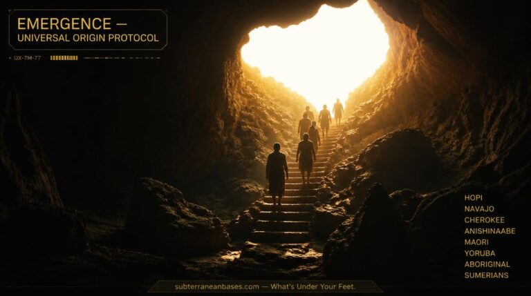
The Navajo emerged from a subterranean world. The Choctaw crawled through a long dark cave from the great mound Nanih Wiya into daylight. The...
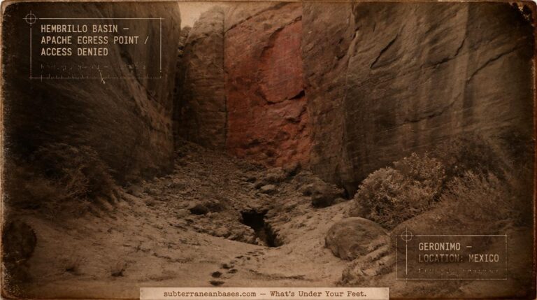
At the turn of the twentieth century, the United States Cavalry chased Geronimo and his braves into box canyons across Arizona — and the...
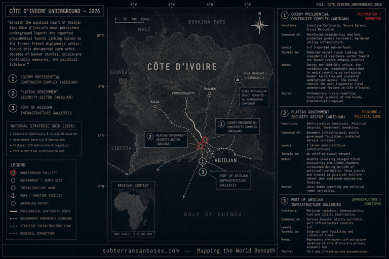
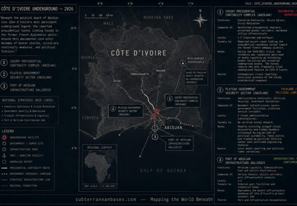
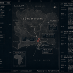
Côte d’Ivoire Underground Beneath the political heart of Abidjan, Côte d’Ivoire’s underground story is less about ancient catacombs and more about power, security, and...
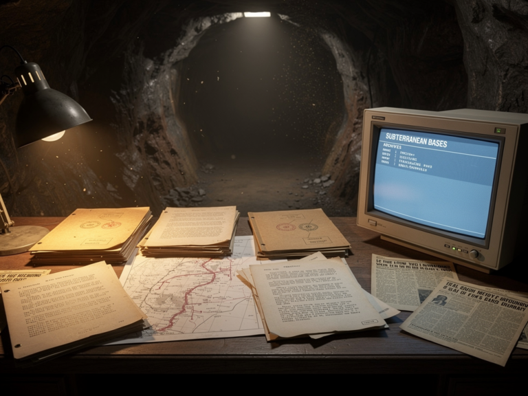
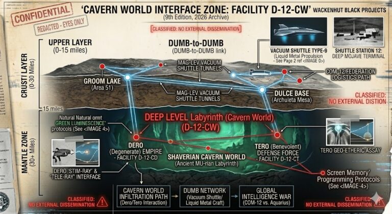
Other Branton Docs Deep beneath the surface lies a world of hidden structures, secret corridors, and long-buried records waiting to be uncovered. This index...
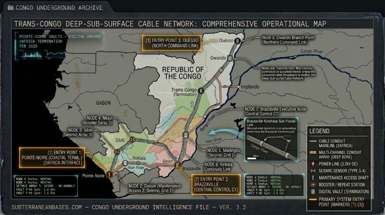
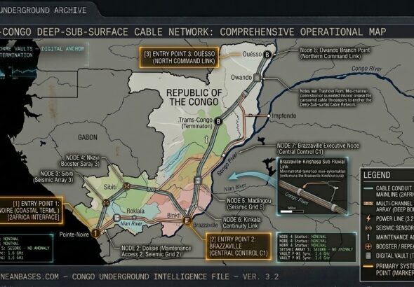
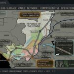
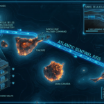
Congo Underground “Beneath the Atlantic coast of Pointe-Noire and the executive hills of Brazzaville, the ‘Congo Shield’ is pulse-syncing. This isn’t just a resource...
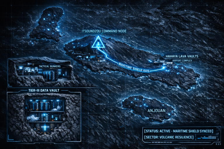
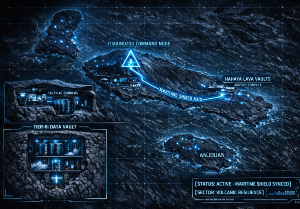
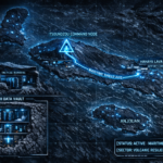
Comoros Underground “Beneath the volcanic basalt of Grande Comore and the drone-monitored hills of Itsoundzou, a ‘Maritime Shield’ is pulse-syncing. The Comoros isn’t just...